
BGEFull syllabus
Geomatics Engineering
Bachelor in Geomatics Engineering
4years, 8 semesters
48subjects
B.E. · IOE / TUdegree
About the program
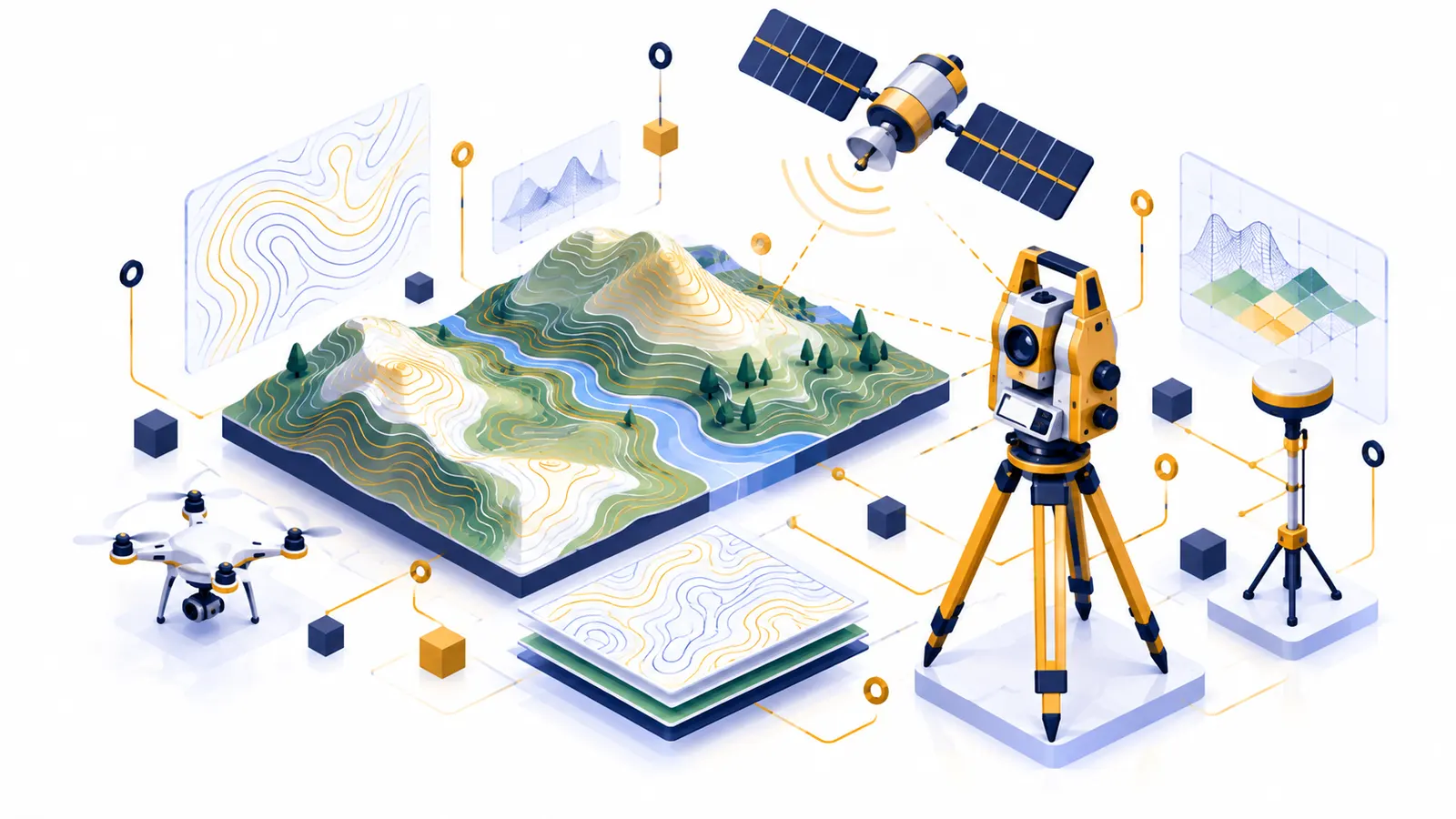
Geomatics Engineering, also called geospatial engineering, is a four-year Bachelor of Engineering program about collecting, analysing and managing information on the location and shape of land and other features. Students learn surveying, geodesy, photogrammetry, cartography and the theory of errors behind accurate measurement.
Later semesters cover geographic information systems, remote sensing, satellite positioning (GNSS), geospatial databases, cadastral and land information systems, land administration and law, digital terrain models and spatial data infrastructure. Survey camp and an internship give students field experience with modern survey instruments.
What you'll study
Surveying and control surveyGeodesy and GNSSPhotogrammetryGIS and cartographyRemote sensingCadastre and land administrationSpatial data infrastructure